
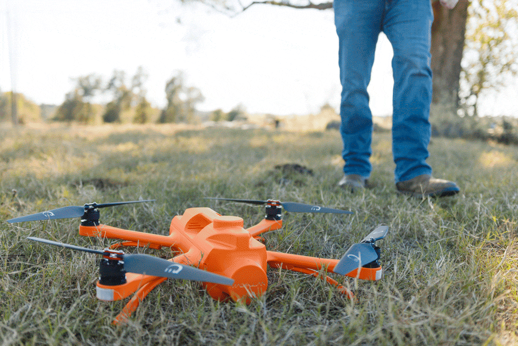
The Survey-Grade Industrial Drone Built Specifically for Surveyors
Built for the Work. Built for the Workflow.
The survey-grade industrial drone designed specifically with surveyors in mind. Get the ease of use and reliability you expect from a critical field tool with the position accuracy and US-based support your work depends on.


%20copy.avif)
Advance Your Operations
Bring Your Team into the Future
For surveyors, the biggest problem is finding someone reliable to capture accurate ground measurements. Magellan™ advances your operations with a robotic solution to collect more effectively and tackle larger projects without the headache of hiring.
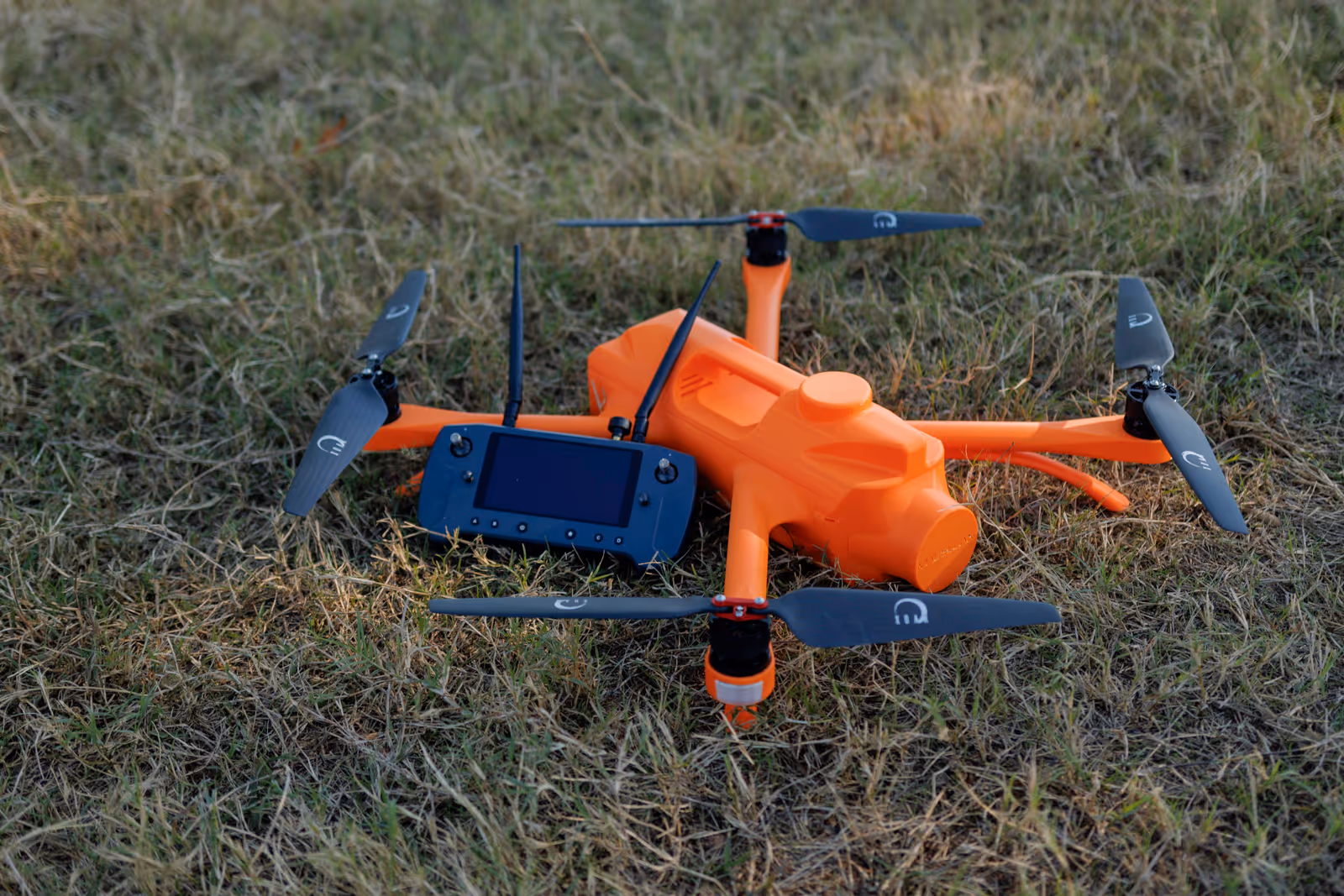
Survey Grade. American Made.™
The Difference is in the Details
Magellan™ is engineered from the ground up for the realities of land surveying with features that matter to your work:
- Survey-grade positioning with industry-standard accuracy
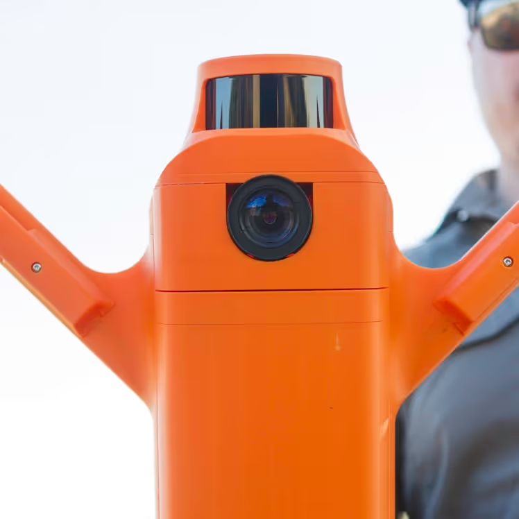
- Advanced payload design protects LiDAR and cameras from elements and handling
- Tool-free operation with no payload swapping required—everything you need is integrated and ready
- American manufacturing with in-country service and support
Ready to Fly, Right Out of the Box
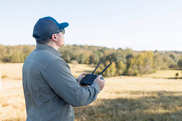
No Drone Experts Required™
Most survey drones require drone expertise, complex setups, and dedicated operators. Magellan™ is built for surveyors, not drone pilots, so your team can start mapping immediately—no prior experience or new hires needed. Simple flight planning for autonomous missions, intuitive controls, and seamless data workflows simplify setup and software management. Just unpack, launch, and get survey-grade results on day one. Plus, training courses are available to help your team become fully certified for Part 107 flight operations, ensuring confidence and compliance from day one.
Field-Ready, Even When You’re Not
Real Protection for Real Work
With 20 mph wind resistance, a 32°F to 110°F operating range, and a unique enclosed payload design, Magellan™ offers something most platforms don't: real protection. That same protection applies during day-to-day operations. Sensors stay locked in place, connections stay secure, and calibration issues are eliminated—so your system is always ready when you are.
Works with the Tools You Already Use
Magellan™ delivers survey-grade positioning that meets <0.2’ spot ground elevation requirements. Its INS & GNSS system provides 0.010 m CEP and supports all major constellations—GPS, GLONASS, BeiDou, and Galileo. Using PPK, it pairs directly with your base station and survey equipment, and open data formats ensure you’re never locked into a single vendor. The system integrates seamlessly with AutoCAD, Civil 3D, ArcGIS, Carlson, Trimble, Global Mapper, and other leading software, making data workflow effortless from capture to analysis.
.svg)
The Survey-Grade Drone Built for Surveyors
The first industrial mapping drone engineered from the ground up specifically for land surveying workflows.
- Field tested to meet spot ground elevation accuracy requirements, with data that is output in your state plane grid and geoid
- Take your surveying operations to the next level with American-made reliability and local support
- Enjoy seamless processing with our Pulse Data Processor and our comprehensive online training program
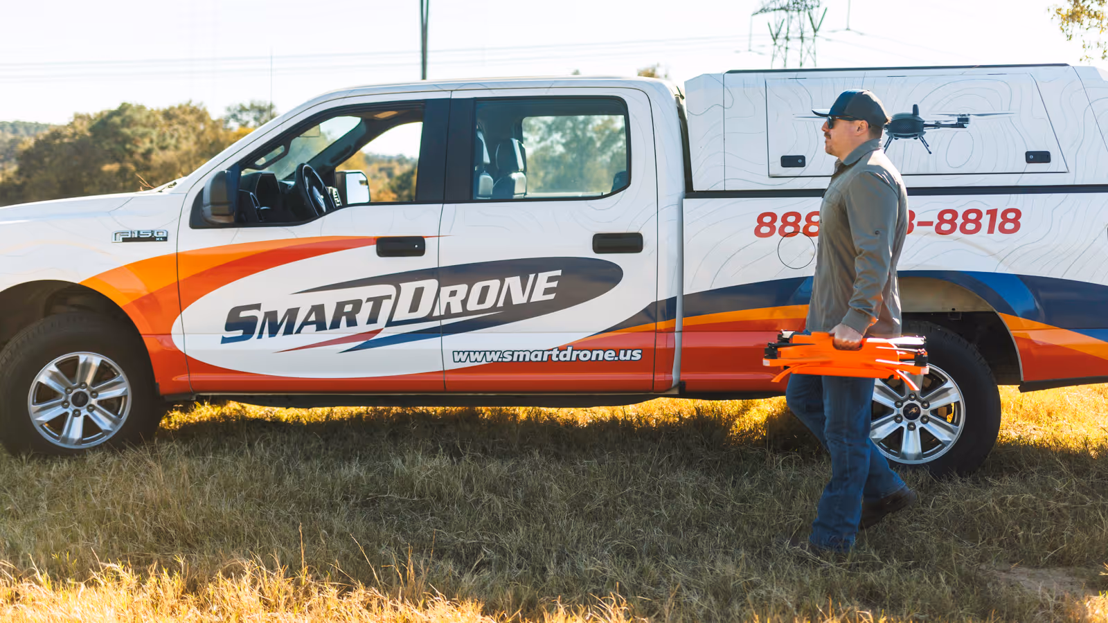
The Future of Drone Mapping is American.
We’re Built for It.
When you choose Magellan™, you're not just getting a drone; you're partnering with a symbol of regulatory compliance, adherence to national standards, and a testament to the value of American craftsmanship.
Powered by

Operations
Flight Height
80 Meters (260 ft)
Area Coverage
150 acres (no ortho overlap)
71 acres (with ortho overlap)
Max Flight Time
Up to 39 minutes
Max Hover Time
Up to 45 minutes
Points Per Second
5.2 million
Max Wind Resistance
20 mph
Communication Range
2 km
Weight
11 lbs (~5 kgs)
Specifications
Max Service Ceiling
20,000 ft above sea level
Operating Temperature
32°F to 110°F
Max Horizontal Speed
10 m/s (22 mph)
Max Ascent/Descent Speed
5 m/s (11 mph)
Dimensions (props folded)
22”x24”x7”
GNSS Support
GPS L1/L2C/L5, GLONASS L1/L2, BeiDou B1/B2,
Galileo E1/E5
Base Station Compatible
All major providers
Accuracy
Data Output Accuracy:
Absolute Accuracy
0.15 ft (~4 cm)
Ground Sampling Distance
1 inch at 80 meters
Positioning Accuracy:
X, Y Position Accuracy (CEP)
0.010m
Altitude Accuracy (RMS)
0.012 m
Roll & Pitch (1σ)
0.010°
True Heading (1σ)
0.040°
Sensor Details
LiDAR (Ouster OS1-128):
- 42.4° field of view with 128 vertical channels
- Dual returns for canopy & ground data
- Full LAS cloud of every point measured in scene
Camera (Sony IMX304 CMOS):
- 12.3 MP sensor
- Global shutter with ultra-low distortion
In The Box
- Magellan™ Survey-Grade Drone
- Rugged Rolling Transport Case
- Herelink Blue Controller System
- Complete Battery System (3 batteries, 1 charger)
- Pulse Data Processor - Includes a 16-month RTX license with the V4 Applanix
(Licensing extension options available at launch) - Training Course Access (2 seats for 2 years)
- 4x microSD cards & req. cables
- 1-Year Manufacturer Warranty (option to extend to 2 years)
- Quality Control Assurance Card