
Data Processing Software for Survey Workflows
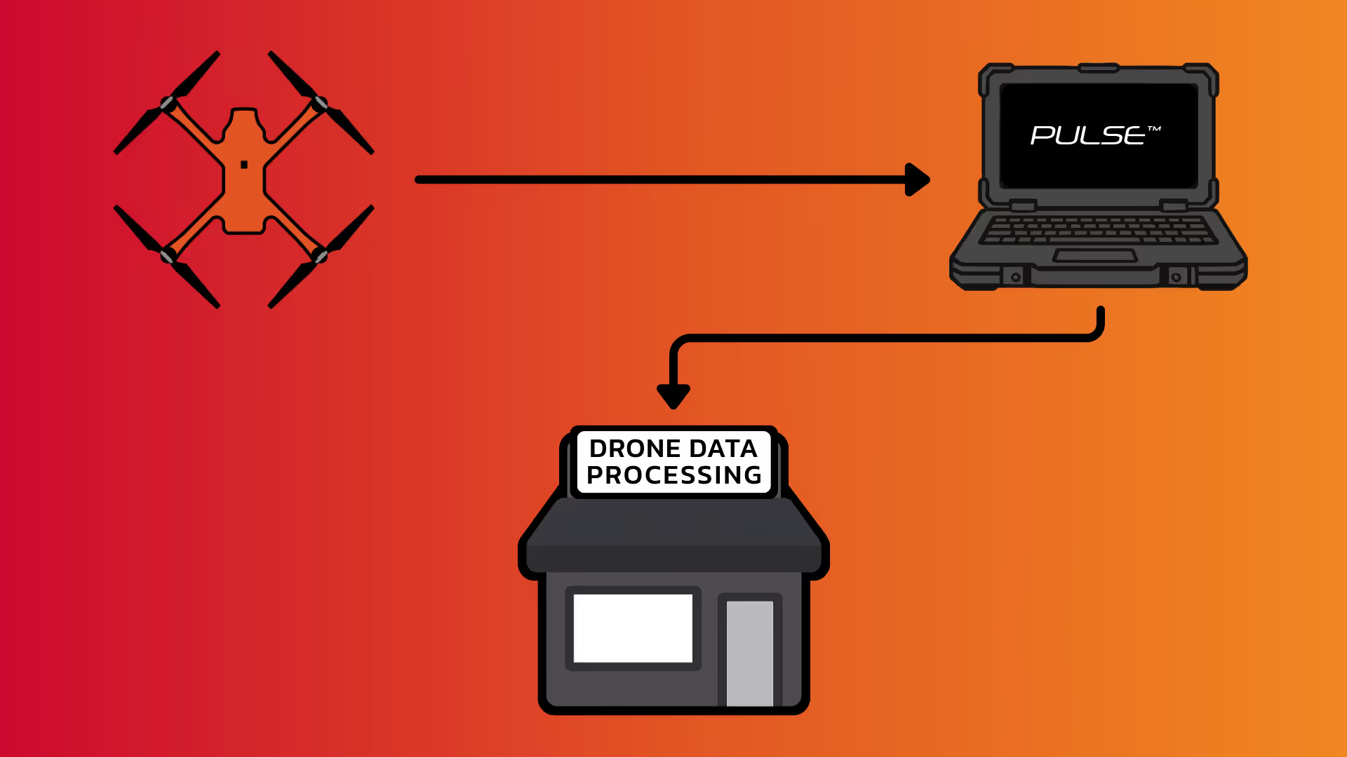
Pulse™ is SmartDrone's data processing and project management platform that turns raw LiDAR and drone imagery into CAD-ready deliverables. Get spot ground elevations, orthomosaics, and accuracy reports that import seamlessly into Civil 3D®, Trimble Business Center®, Pix4D®, and more.
.avif)
Survey-Grade Processing
Data that Works With What You Have
Pulse™ processes LiDAR into spot ground elevations at full point density, with the ability to subsample data into standard 10-25 ft survey grids while applying vegetation filtering and syncing to your project's control and coordinate system. When processing completes, Pulse™ generates accuracy reports using your rover points so you have documented verification of your deliverables. Imagery stitches into sub-inch GSD orthomosaics for topo backdrops, Alta surveys, and as-builts, or prepares images for import directly into Pix4D processing. The software supports all major base stations, high-EMF environments, and CORS network bases.

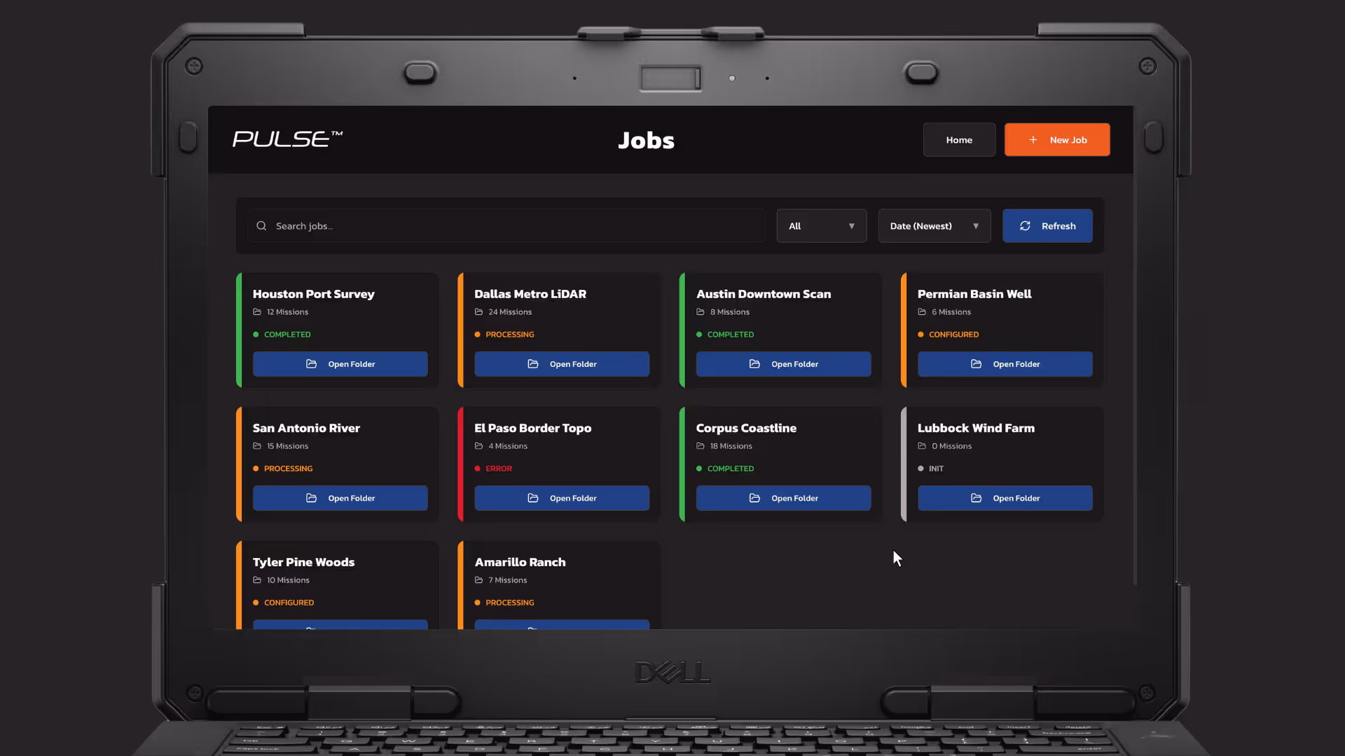
Project Management
One Dashboard for Every Project
Multiple flights across different job sites generate gigabytes of LiDAR and imagery files that need to be organized. Pulse™ consolidates everything into a single project management dashboard where you can add jobs, configure control information, and monitor processing status without digging through folders. Combine multiple flights automatically under one project, and your team shares access through a local repository, whether working internally or coordinating with external processing partners.
Third-Party Integration
Control What You Process & What You Offload
Not every team processes data internally, especially with all the other responsibilities a surveyor already has. Pulse™ integrates with data processing teams, including in-house enterprise departments and trusted third-party processors, so complex jobs can be routed to the right experts when needed. Projects sync to your existing cloud storage, direct support ticketing connects you with processing specialists, and you control what gets processed in-house or externally.
.svg)
The Survey-Grade Drone Built for Surveyors
The first industrial mapping drone engineered from the ground up specifically for land surveying workflows.
- Field tested to meet spot ground elevation accuracy requirements, with data that is output in your state plane grid and geoid
- Take your surveying operations to the next level with American-made reliability and local support
- Enjoy seamless processing with our Pulse Data Processor and our comprehensive online training program


CYAN: Cover Your Ass(ets) Now
Reduce Rework. Increase Profits.
Return trips for re-flights cost crew time, vehicle expenses, and schedule delays. CYAN runs on-site before you pack up, catching coverage gaps, base station alignment issues, and payload problems while you can still address them.